UNITED NATIONS, Sept 5: India has voted in favour of a UN General Assembly resolution aimed at promoting a more accurate and equitable representation of the world’s landmasses on maps.
The 193-member General Assembly on Friday overwhelmingly adopted the resolution titled “Correct the Map”: Rebalancing Global Cartographic Representation and Promoting Equitable Representation of the World’s Regions, Particularly Africa.
Sponsored by Togo, the resolution received 164 votes in favour. Estonia, Georgia, Lithuania, Moldova, Serbia and Ukraine abstained, while the United States was the only country to vote against it.
The resolution noted that the Mercator projection, developed in the 16th century primarily for navigation, continues to be widely used in educational, media, digital and official materials despite significantly distorting the size of landmasses located farther north and south of the equator.
It expressed concern that such distortions can minimise the perceived size of regions including Africa, Latin America and South Asia, thereby contributing to an unbalanced understanding of the world.
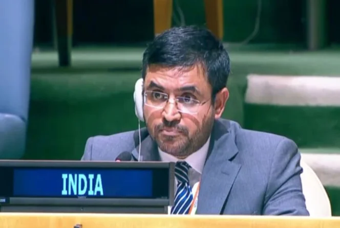
Explaining India’s vote, First Secretary at the Permanent Mission of India to the UN, Raghoo Puri, said New Delhi welcomed the objective of promoting more accurate and representative cartographic practices.
“Maps play an important role in how societies understand geography and the relative scale of the world around us,” he said.
However, India clarified that its support for the resolution should not be interpreted as an endorsement of any particular map projection.
“We believe that the resolution should be understood as supporting the broader use and consideration of Equal Area map projections, and not as endorsing the Equal Earth projection or any other specific map projection,” Puri said.